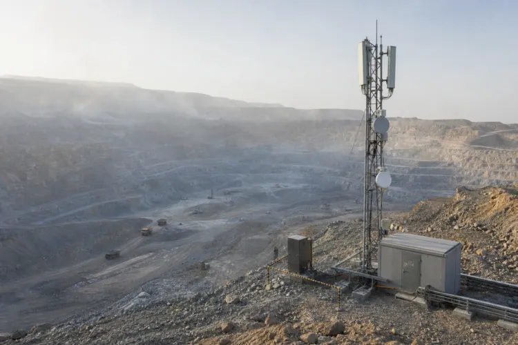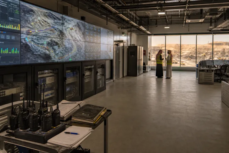
Reading the Arabian Shield starts with a simple problem. Much of the Kingdom’s most prospective terrain sits beneath sedimentary cover, and traditional surface prospecting can miss what lies below. In remote areas where vegetation is sparse and cover predominates, geophysics becomes the primary tool for subsurface penetration. That is why Saudi Arabia’s exploration push increasingly relies on modern geophysical survey techniques in the Arabian Shield, paired with geochemistry and advanced imaging. The goal is not just to describe geology, but to narrow broad “potential” into zones that can be licensed, explored, and tested with clearer risk bounds.
A key enabler is national-scale surveying and data packaging. A Discovery Alert report described a surveyed territory of 650,000 square kilometers across the Arabian Shield, illustrating the scale of systematic work being assembled for explorers. The same coverage says Deputy Minister Khalid Al-Mudaifer confirmed completed surveys revealed actual mineral wealth exceeding previous estimates. Auction rounds are described as offering comprehensive data packages, including geological maps, geophysical surveys, geochemical data, and historical exploration results. This structure is designed to reduce early-stage exploration risk by giving bidders enough context to build targets before committing to drilling and ground campaigns.
From Airborne Signals to 3D Models: How Targets Take Shape
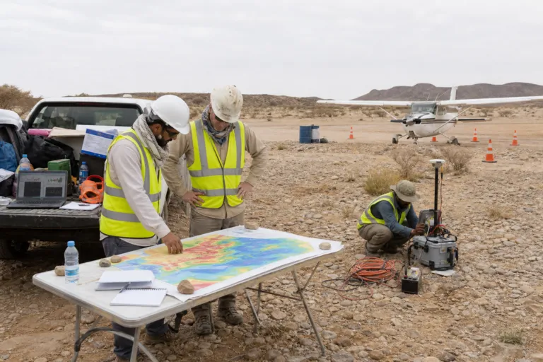
Airborne methods are positioned as the fast first pass. Airborne geophysical surveys use sensor technologies capable of detecting subtle magnetic and electromagnetic anomalies associated with buried mineral deposits. Those anomalies then guide ground-based surveys that collect higher-resolution data and support detailed three-dimensional subsurface models. For volcanogenic massive sulfide (VMS) exploration, the airborne electromagnetic response is highlighted as particularly useful, with surveys enabling high-resolution conductivity mapping that reveals “ore conductors” and helps bypass sandy cover obscuring parts of the Shield. This workflow turns wide-area scanning into ranked targets that can be checked against structure, alteration, and geochemistry.
Potential field interpretation adds another lens for buried architecture. A 2026 study focused on Asir and Jiddah terranes in the Makkah area describes potential field data as essential for studying crustal structure. By examining variations in fields linked to subsurface density and magnetic property distributions, teams can identify faults, contacts, mineral deposits, sedimentary basins, and variations in crustal thickness. In practice, these interpretations support structural delineation and help explain why certain mineralized zones cluster where they do. The Arabian Shield is described as being located in western Saudi Arabia on the eastern side of the Arabian-Nubian Shield, separated by the Red Sea rift system.
Finally, modern targeting increasingly depends on integration and automation. AI-driven analysis is described as processing decades of geological data, satellite imagery, and geophysical surveys to generate probabilistic models of mineral occurrence, using pattern recognition to flag subtle indicators that human analysts might overlook. In parallel, Saudi Arabia’s Regional Geological Survey Program (RGP) is described as supporting data-driven exploration, with approaches that combine clean, high-resolution geochemical data with statistical and AI-powered anomaly detection to pinpoint previously unrecognized targets across the Arabian Shield and prioritize areas for follow-up sampling or geophysical surveys. Service providers in the Kingdom also describe airborne survey capabilities using technologies such as GPR, EFTG, IP, MAG, and gravity, reflecting a broad toolkit now being applied to the Shield’s buried opportunity.
Why do geophysical surveys matter so much in the Arabian Shield?
How large is the surveyed area described for the Arabian Shield work?
How do airborne surveys and ground surveys work together in mineral targeting?
What can potential field data reveal for exploration in western Saudi Arabia?
How are geophysical survey techniques in the Arabian Shield being strengthened with AI?