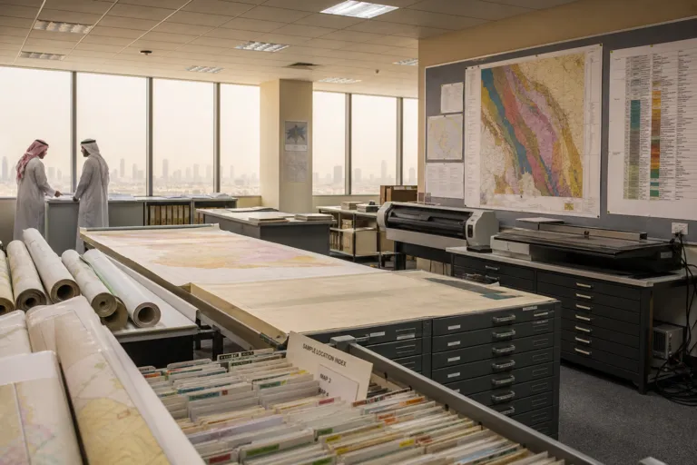
Open geodata changes what “early-stage exploration” looks like. In Saudi Arabia, SGS positions its National Geological Database as the most useful product for explorers because it concentrates decision-critical layers in one portal. The landing page lists geological maps at 1:1,000,000, 1:500,000, and 1:250,000, plus geochemical and geophysical survey data, well data including drill core and surface samples, topographic maps, remote-sensing products, and a technical reports database of Saudi Geological Survey publications. Instead of assembling basic context from scratch, incoming teams can begin with a state-curated baseline and spend field time validating, not reinventing, what is already known.
The cost effect is straightforward: better starting information lowers the entry cost of testing an idea. A separate analysis on Africa’s mapping push states that comprehensive public geodata lowers the entry cost for incoming companies and that once a national databank is complete, the exploration cycle accelerates. Saudi Arabia’s setup follows that logic by pairing publicly usable layers with a system designed to keep improving. Article 6 in the framework described in the SGS guide says the Ministry coordinates with SGS on tasks such as identifying mining reserve areas, developing and updating the National Geological Database, making non-confidential maps and data available to the public, and keeping drill samples in the national drill core library. In practice, the guide notes the database is meant to grow as licensees report their work.
What to Pull First: Maps, MODS, and Reports Before the Polygon
For explorers trying to move fast, the biggest savings can come before a licence boundary is even drafted. The SGS guide’s practical advice is to pull MODS records before drawing a boundary: list every Saudi Geological Survey occurrence record, old working, and prior drill hole inside and around a proposed area. MODS is described as covering metallic and industrial mineral deposits and includes their exploration status. When this is combined with the portal’s geophysics, geochemistry, well data, and technical reports, a team can do disciplined desktop screening and reduce avoidable overlaps. It also improves how a project is explained to investors, because the “knowns” and “unknowns” are anchored to documented records and referenced publications.
Remote-sensing and other geospatial layers also support cost control by reducing unnecessary repeat work. In the urban context, a Saudi geospatial database developed by the Ministry of Municipalities and Housing is described as providing historical and recent aerial imagery and continuously updated spatial data. A deputy minister said it was expected to shorten timelines and reduce costs by limiting the need to repeat surveying, field measurement, and data collection, while accelerating the preparation of studies, analyses, and designs. The same operational lesson applies to mineral teams using national portals: start with reliable spatial references, screen conflicts early, and focus field budgets on the places where new sampling and mapping will actually change decisions.
Saudi Arabia’s exploration push provides the demand-side reason this matters now. The SGS guide describes the country as running one of the most active exploration drives anywhere, pointing to detailed mapping of the Arabian Shield, bid rounds for gold belts, and a fourfold rise in exploration licensing. A more active licensing environment raises the penalty for slow or repetitive workflows. SGS, established as an independent entity in 1999, carries out applied earth science work that includes geological mapping and mineral-resource studies and is associated with the National Geological Database as a web portal used by government bodies, researchers, and investors. For new entrants, this combination of open baseline data and an update loop tied to reported work is how entry costs fall without lowering technical standards.
What is the National Geological Database Saudi Arabia used for in exploration?
Which map scales are listed on the SGS database landing page?
What is MODS and why does it matter before drafting a licence boundary?
How does open public geodata affect entry costs, according to broader mapping analysis?
What does Article 6 say about keeping the database current?