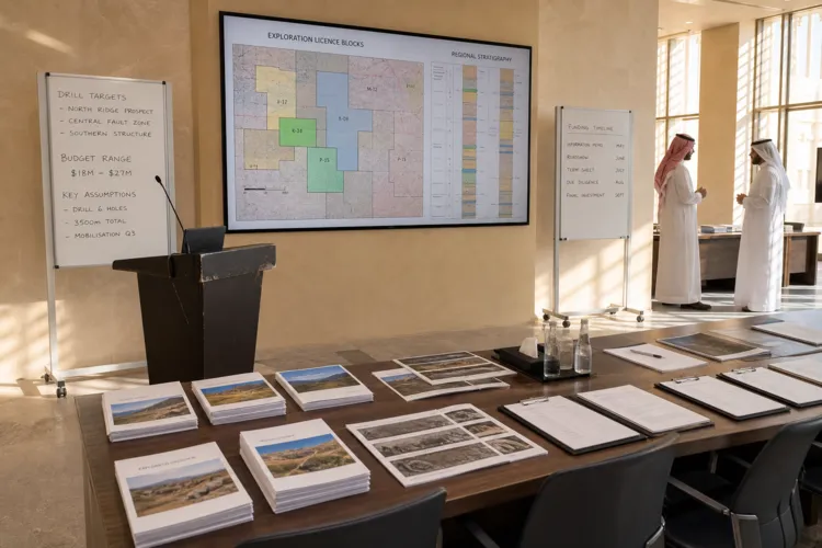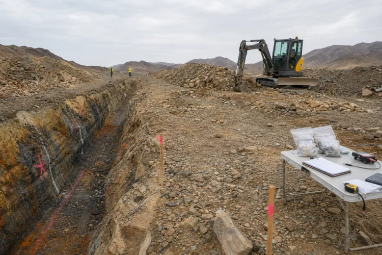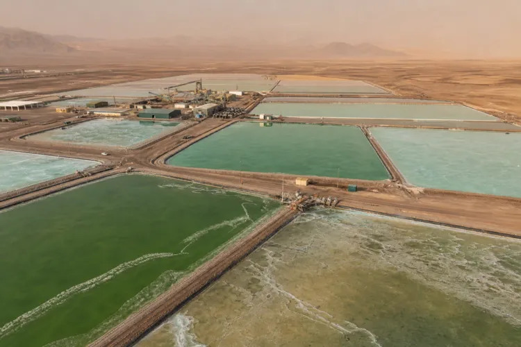
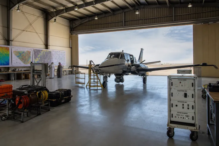
A national airborne geophysical survey campaign in Saudi Arabia sits at the intersection of mapping, mineral discovery, and the rapid rise of geospatial analytics. A multi-year mapping program referenced in industry reporting links airborne geophysics with geochemical sampling and advanced imaging to move from broad potential to specific zones that can be licensed, explored, and tested. In parallel, market research points to accelerating demand for geospatial technologies across government agencies, municipalities, and public-sector infrastructure programs aligned with Vision 2030. Taken together, these threads show how state-backed data acquisition from the air can become a practical input to permitting, investment, and ongoing monitoring.
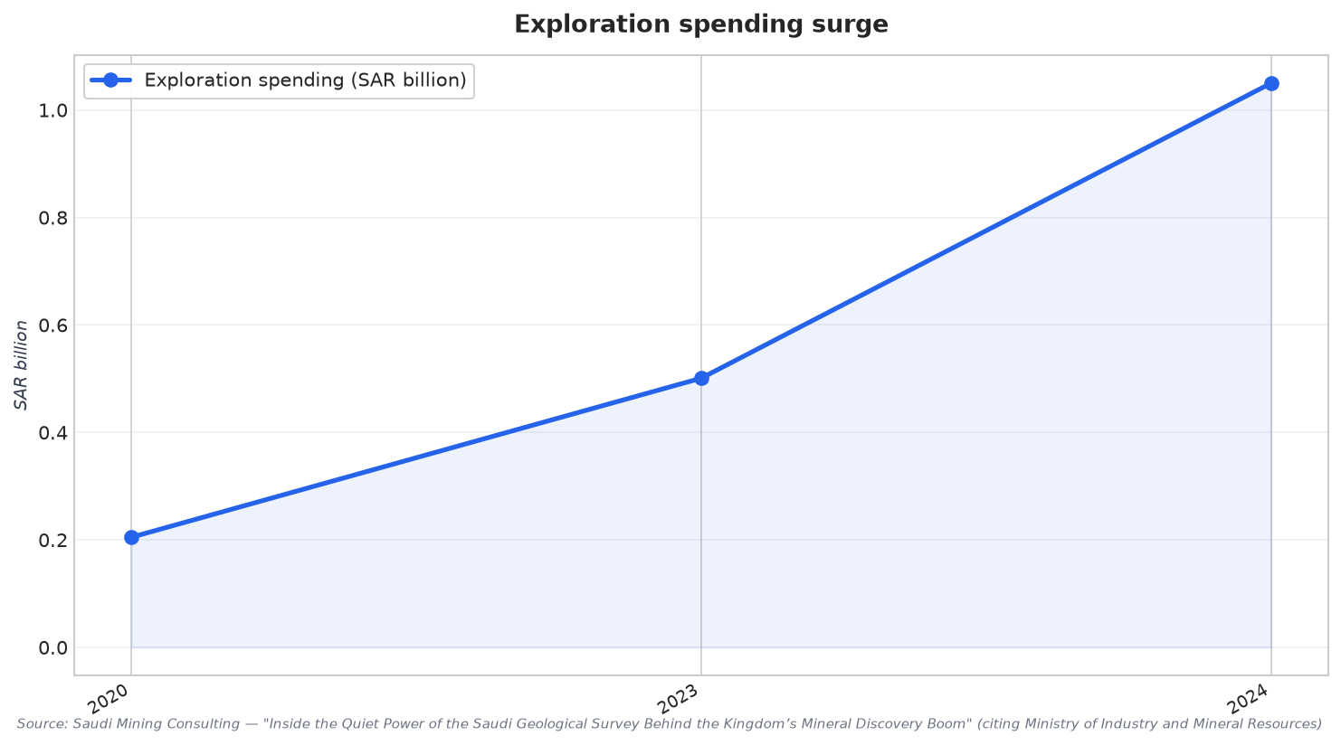
The mineral-exploration context is getting louder. The Ministry of Industry and Mineral Resources reported exploration spending reached SAR 1.05 billion in 2024, up from SAR 501 million in 2023 and SAR 205 million in 2020. Within that backdrop, a report cited by Saudi mining consulting noted that the Saudi Geological Survey (SGS) identified major new zones with potential for rare earths, lithium, nickel, and other battery metals, drawing on a comprehensive, multi-year mapping program that includes airborne geophysics. This is the operational logic of airborne surveying at national scale: more consistent coverage, faster screening of large areas, and a pipeline of targets that can be refined with follow-up work.
From Airborne Data to Everyday Decisions: The Geospatial Stack Expands
Airborne survey outputs also feed a wider geospatial ecosystem that is expanding across the Kingdom. One market report values Saudi Arabia’s geospatial imagery analytics market at USD 152.9 million in 2025 and projects USD 245.1 million by 2030, describing 9.9% CAGR and tying growth to Vision 2030 investments and smart-city infrastructure. A second report estimates the Saudi Arabia geospatial analytics market at USD 1.52 billion in 2025, USD 1.68 billion in 2026, and USD 2.79 billion by 2031, with a 10.63% CAGR over 2026–2031. While these sources use different estimation frameworks, both frame the same directional shift: more spending, more platforms, and more operational use of spatial data.
Those same sources clarify what kinds of data and deployments matter most. In 2025, satellite and aerial imagery accounted for 44.62% of demand in the Saudi Arabia geospatial analytics market, while cloud captured 54.10% of revenue, with cloud projected to grow at an 11.55% CAGR through 2031. Government and smart-city authorities represented 27.84% of 2025 spending, and software led with a 46.12% revenue share. These splits help explain why an airborne program has leverage: it strengthens one of the largest data-source categories and supplies content that can be delivered through cloud-first spatial infrastructures for planning, monitoring, and predictive modeling use cases described in the market analysis.
The wider mapping-and-survey picture in Saudi Arabia also includes infrastructure needs on the ground and geophysics at sea. Utility mapping demand is projected to reach 1.5 million utility mapping projects in the near future, while the same source flags a skills gap with an estimated 35% of positions unfilled. Offshore, an industry blog estimates 106 gigawatts of offshore wind potential along the Red Sea and Arabian Gulf, and describes survey requirements focused on the upper 50 to 100 meters of sediment and centimeter-level tolerances for positioning. Together, these signals underline why national aerial mapping matters: it supports discovery and development, but it also competes for talent and must integrate into a broader, fast-growing survey-and-analytics landscape.
What is Saudi Arabia’s national airborne geophysical survey campaign trying to achieve?
How fast has exploration spending increased in Saudi Arabia in recent years?
Which minerals were linked to newly identified zones from SGS mapping work?
How important are satellite and aerial imagery to Saudi Arabia’s geospatial analytics demand?
What deployment model is most common for geospatial analytics in Saudi Arabia?