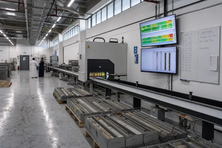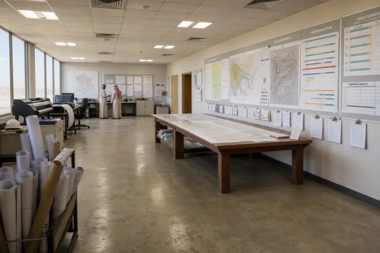
Exploration in Saudi Arabia is increasingly about what cannot be seen at the surface. Large parts of the Arabian Shield include areas beneath sedimentary cover, and modern methods can detect mineralisation through hundreds of metres of overburden. This matters because targets under cover are described as some of the Shield’s highest-potential opportunities. The Arabian-Nubian Shield spans approximately 630,000 square kilometres across western Saudi Arabia, and its basement rocks include ophiolite sequences, granitoid intrusions, and volcanic-sedimentary assemblages that host diverse mineral deposits. With geologically complex terrains, advanced pattern recognition can highlight subtle indicators that human analysts might overlook, accelerating target generation while improving exploration success rates.
Policy and funding are reshaping how quickly the under-cover hunt can scale. Vision 2030 positioned mining as the third pillar of the economy alongside oil and petrochemicals and cited an estimated USD 2.5 trillion in untapped mineral reserves across over 48 identified minerals, including gold, copper, zinc, lithium, and rare earth elements. Over three years, the minesite exploration budget surged 595% to USD 146 million from USD 21 million. Reforms also changed project economics: the Mining Investment Law reduced tax rates from 45% to 20%, and an exploration incentive program of USD 182 million covers up to 25% of exploration costs and 75% of development costs through the Saudi Fund for Development.
From Sand to Signals: The New Toolset for Concealed Targets
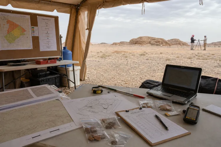
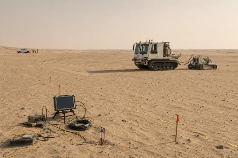
Technology is doing the heavy lifting when sand and sediment mask the geology. AI-powered satellite tomography and Fleet Space Technologies’ ExoSphere platform enable real-time data transfer to ground stations for AI-enhanced processing across 12,000 square kilometers of the Arabian Shield. Airborne geophysical surveys also use sensor technologies designed to detect subtle magnetic and electromagnetic anomalies linked to buried deposits. Saudi Arabia has supported this kind of work by deploying 10 specialized airplanes for airborne geophysical surveys and collecting 85,000 stream sediment samples that mapped 85% of the Arabian Shield. Together, these datasets help teams rank targets and focus follow-up work where cover is thickest.
Speed and depth are becoming competitive advantages in the field. Ivanhoe Electric’s electrical geophysical surveying systems, guided by Computational Geosciences’ machine-learning algorithms, are described as delivering complex three-dimensional inversion results within 24 hours from terabytes of raw data and discovering copper zones beyond 700 meters depth. Robotics is also entering routine workflows: remotely operated soil sampling robots like NOMAD from ERG and SK Godelius, and OffWorld’s autonomous industrial mining robots deployed in Ma’aden’s underground operations, are highlighted for improving data collection while reducing human exposure to hazardous environments. This shift supports the broader theme of deep mineral exploration under cover in Saudi Arabia by shrinking the time between a signal and a decision.
Licensing and market capacity are expanding alongside the technical push. Active mining permits reached 2,485, and exploration licenses grew 350% since reforms began. The government released 50,000 square kilometers of prospective lands through competitive licensing, widening the search space for concealed deposits. On the commercial side, IMARC Group research cited the Saudi Arabia mineral exploration equipment market at USD 2,052.5 million in 2025, projected to reach USD 3,786.1 million by 2034 at a 7.04% CAGR during 2026–2034. Major capital signals include Ma’aden committing approximately USD 110 billion of investment over the coming decade, while Manara Minerals Investment Company secured a 10% equity position in Vale Base Metals.
What does deep mineral exploration under cover in Saudi Arabia focus on?
How large is the Arabian-Nubian Shield in western Saudi Arabia?
What budget and incentive figures show Saudi Arabia’s exploration push?
What datasets are being used to explore beneath sand and sediment?
How fast can some AI-guided geophysics deliver 3D results, and how deep can it detect?